

Features
🌲 NATIONAL PARK MAP: Features all 63 National Parks + over 600 NPS Sites, National Monuments, Historic Sites, National Battlefields, National Wildlife Areas, and more.
EXPLORE FASCINATING DESTINATIONS: Identifies locations of NASA Space Centers, State Capitals, Historical Cities including Colonial Williamsburg, Mackinac Island, Tombstone, Mount Vernon, the tallest peak in every state, and features U.S. Interstates, and more! Current as 2023 and created by a professional Geographer.
❤️ PERFECT TRAVEL GIFT: A National Parks Map Print is the perfect gift for all ages and occasions. Share a special travel gift for kids, teens, adults, retirement, outdoor enthusiasts, RV travelers, hikers, national park visitors, campers, nature lovers, historians, and more!
🚩COMPREHENSIVE GEOGRAPHY: Over 2,500 cities, USA Interstates, USA Capitals, all of the major rivers and lakes in the USA. Color-coded symbology to easily find points of interest.
🗺️ PROFESSIONAL MAP PROJECTIONS: This map uses the Albers Continental Map projection - accurate for displaying the continental USA. We also use the proper Alaska NAD Projections to accurately display the intricate shape of Alaska. The larger the map, the better to see the details in the USA!
⭐ FINE ART PRODUCTION - Heavy-weight Photo Satin Paper with rich color depth, archival inks for museum quality display. Designed to fit in standard frames.
✈️ MADE IN THE USA: From our USA SMALL BUSINESS TO YOU: We carefully package the map in a sturdy plastic tube, perfect for gift giving and protection. Then we ship in a large outer box and we cover the shipping and ship directly to your doorstep!
Details
Looking to explore the beauty of the United States? Look no further than our National Parks Map Poster and USA Travel Destinations Poster! This map is a comprehensive guide to all 63 National Parks, plus over 600 NPS Sites, National Monuments, Historic Sites, National Battlefields, and National Wildlife Areas. With up-to-date information as of 2023 and created by a professional Geographer, you can trust that this map is accurate and reliable.
But this map isn't just about national parks - it also highlights fascinating destinations across the country. From NASA Space Centers to State Capitals, Historical Cities like Colonial Williamsburg and Mackinac Island, and even the tallest peak in every state, this map has it all. It also features U.S. Interstates and much more! With over 2,500 cities, USA Interstates, USA Capitals, and major rivers and lakes, this map provides a comprehensive geography lesson in one convenient package.
Not only is this map informative, but it also makes for the perfect travel gift. Whether you're shopping for kids, teens, adults, or outdoor enthusiasts, this National Parks Map Print is a thoughtful and memorable present. It's also great for retirement gifts, RV travelers, hikers, national park visitors, campers, nature lovers, historians, and anyone else with a love for exploration. Give the gift of adventure with this stunning map.
When it comes to quality, we've got you covered. Our National Parks Map Poster is printed on heavy-weight Photo Satin Paper with rich color depth, ensuring a vibrant and long-lasting display. The archival inks used in the printing process guarantee museum-quality results. Plus, the poster is designed to fit in standard frames, making it easy to display in your home or office.
At our USA small business, we take pride in delivering top-notch products and exceptional customer service. To ensure your map arrives in perfect condition, we carefully package it in a sturdy plastic tube, making it ideal for gift giving and protection during shipping. We cover the shipping costs and ship directly to your doorstep in a large outer box. Purchase your National Parks Map Poster today and start planning your next adventure!
For more information or to place your order, visit here.
Discover More Best Sellers in Geography Materials
Shop Geography Materials
Slime: The mega laugh-out-loud children's book from No. 1 bestselling author David Walliams.
 Geography Materials - Slime: The mega laugh-out-loud children's book from No. 1 bestselling author David Walliams.

National Geographic Kids Infopedia 2023
Geography Materials - National Geographic Kids Infopedia 2023
 Geography Materials - MOVA Globe – Antique Terrestrial Green 6” | Rotating Solar-Powered Globe with 18th-Century Map | Elegant Vintage Desk Decor
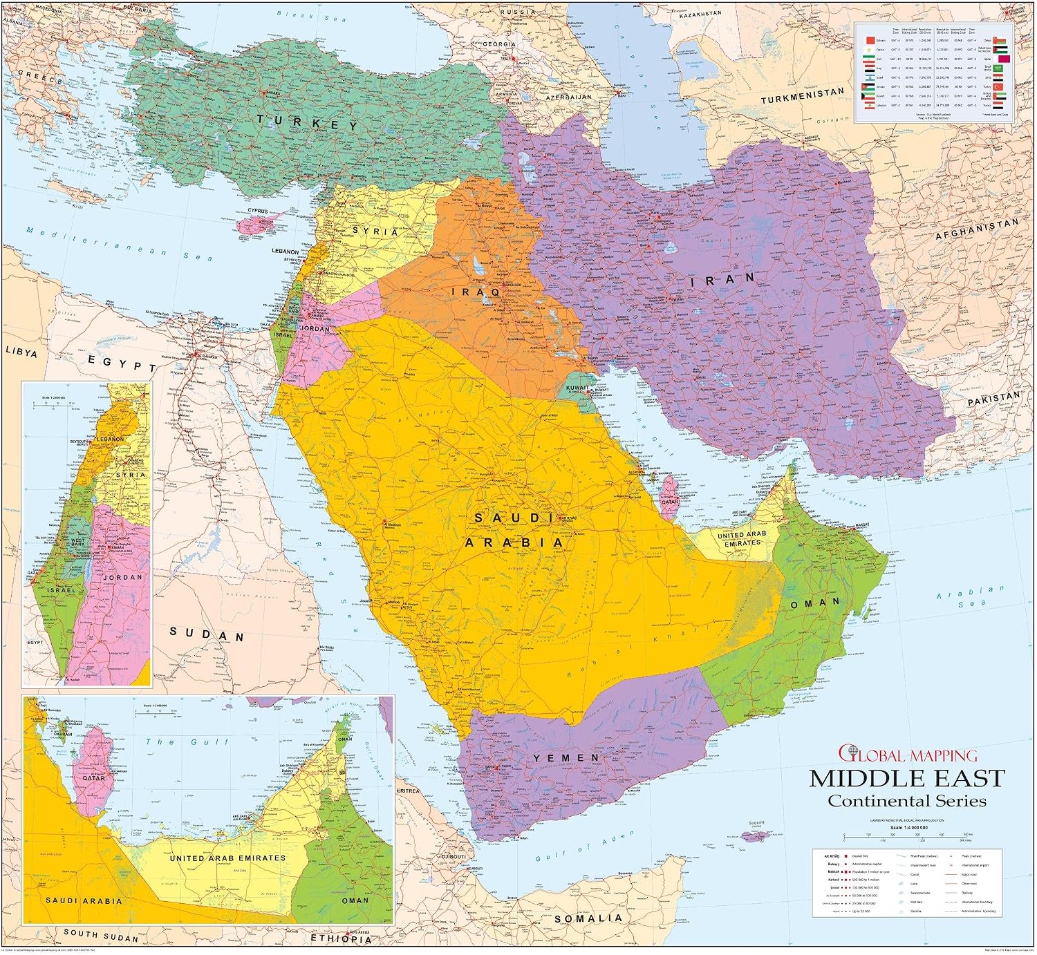
Middle East Wall Map - 42.5" x 39" Matte Plastic
 Geography Materials - Middle East Wall Map - 42.5" x 39" Matte Plastic

North Central United States Wall Map - 60" x 42" Laminated
 Geography Materials - North Central United States Wall Map - 60" x 42" Laminated
 Geography Materials - Gall Orthographic World Map | Most Accurate World Map - Countries are Shown in Correct Proportion to Each Other | Laminated World Map | 36” x 24”

 Geography Materials - Flagest Magnetic Levitation Floating Globe - Levitating O Shape Globe with LED Lights for Education Home Office Desk Decor - Birthday Holiday Party Gift (4Inches)
 Geography Materials - National Park Scratch Off - All 63 Parks - 16" x 20" in Standard Size Poster - US National Park Checklist Map - National Park Checklist Poster - USA National Parks Gift
