
USA and World map poster 2 pack for kids Laminated large illustrated Light blue Young N Refined 15x20)

$9.95
Description
Book Synopsis: Get your children involved and teach them Geography in America and world Geography with these two beautifully illustrated high quality charts. Included are 2 charts. United States of America map chart includes all 50 states and their capitals. World map chart includes all the countries of the world within the 7 continents as well as 5 oceans. Printed on a dark blue background to help maximize viewing distance. These prints come in 2 sizes: 18x24 and 24x30.
Details
Looking for a fun and educational way to teach your kids about the United States and the world? Look no further than our USA and World map poster 2 pack for kids! These beautifully illustrated, laminated charts are the perfect addition to any classroom or playroom.
With the United States map chart, your children will learn all 50 states and their capitals. They'll be able to identify and locate each state, making it a breeze to study for their geography exams. The world map chart introduces them to the countries within the 7 continents, as well as the 5 oceans. This comprehensive visual aid will expand their knowledge of the world and foster a love for travel and exploration.
Not only are these charts educational, but they're also designed to maximize viewing distance. The dark blue background ensures that the colorful illustrations stand out, making it easy for your kids to understand and memorize the information presented. Available in 18x24 and 24x30 sizes, you can choose the perfect fit for your space.
Don't miss out on this opportunity to give your children an interactive and engaging learning experience. Order our USA and World map poster 2 pack for kids today and watch as they develop a deeper understanding and appreciation for the world around them.
For more information about our USA and World map poster 2 pack for kids, click here.
Discover More Best Sellers in Geography Materials
Shop Geography Materials
Rand McNally Easy to Read: Virginia State Map
 Geography Materials - Rand McNally Easy to Read: Virginia State Map

Rand McNally Easy to Read: Montana, Wyoming State Map
Geography Materials - Rand McNally Easy to Read: Montana, Wyoming State Map

3D Bible Israel Relief Map Scientific Computer Raised (without frame) 47" X 21.5"
Geography Materials - 3D Bible Israel Relief Map Scientific Computer Raised (without frame) 47" X 21.5"

USA Map for Kids - LAMINATED - United States Wall Chart Map (18" x 24")
Geography Materials - USA Map for Kids - LAMINATED - United States Wall Chart Map (18" x 24")

USA Map for Kids - United States Wall/Desk Map (18" x 26" Laminated)
Geography Materials - USA Map for Kids - United States Wall/Desk Map (18" x 26" Laminated)
 Geography Materials - Gale Force Nine D&D: Avernus Map - 23' x 15' - GF9's Official Dungeons & Dragons Tapletop Decent into Avernus Map
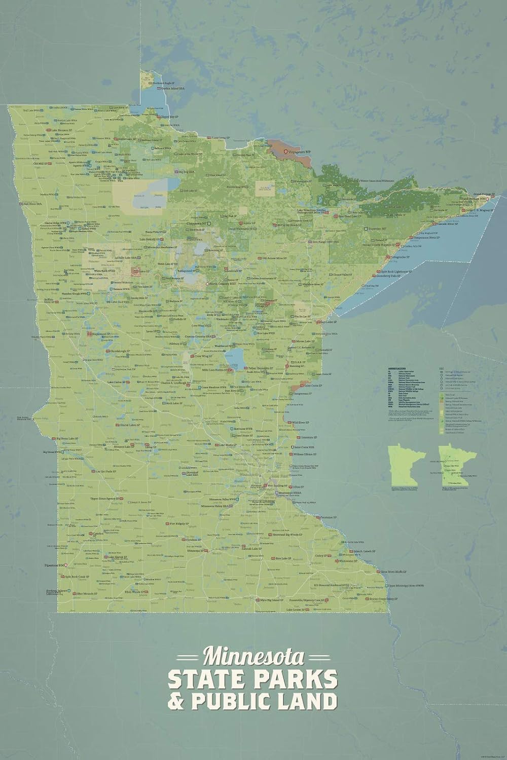
Best Maps Ever Minnesota State Parks & Public Land Map 24x36 Poster (Natural Earth)
Geography Materials - Best Maps Ever Minnesota State Parks & Public Land Map 24x36 Poster (Natural Earth)

Funko Mystery Mini: Harry Potter Snow Globes - One Mystery Snow Globe
Geography Materials - Funko Mystery Mini: Harry Potter Snow Globes - One Mystery Snow Globe


